Mining Claims Map

This map shows claims by radioactive mining companies on federal lands in the Black Hills region as of 2016. The claims are in red. The map for the central Black Hills is a United States Geological Survey map of the rock layers in the region. The claims along the northwestern edge of the Black Hills in Wyoming are to the left, off the main map.
Nov. 2016 Press Release – Dakota Rural Action and BH Clean Water Alliance: MAPPING PROJECT SHOWS URANIUM COMPANY CLAIMS AROUND BLACK HILLS…Read more.
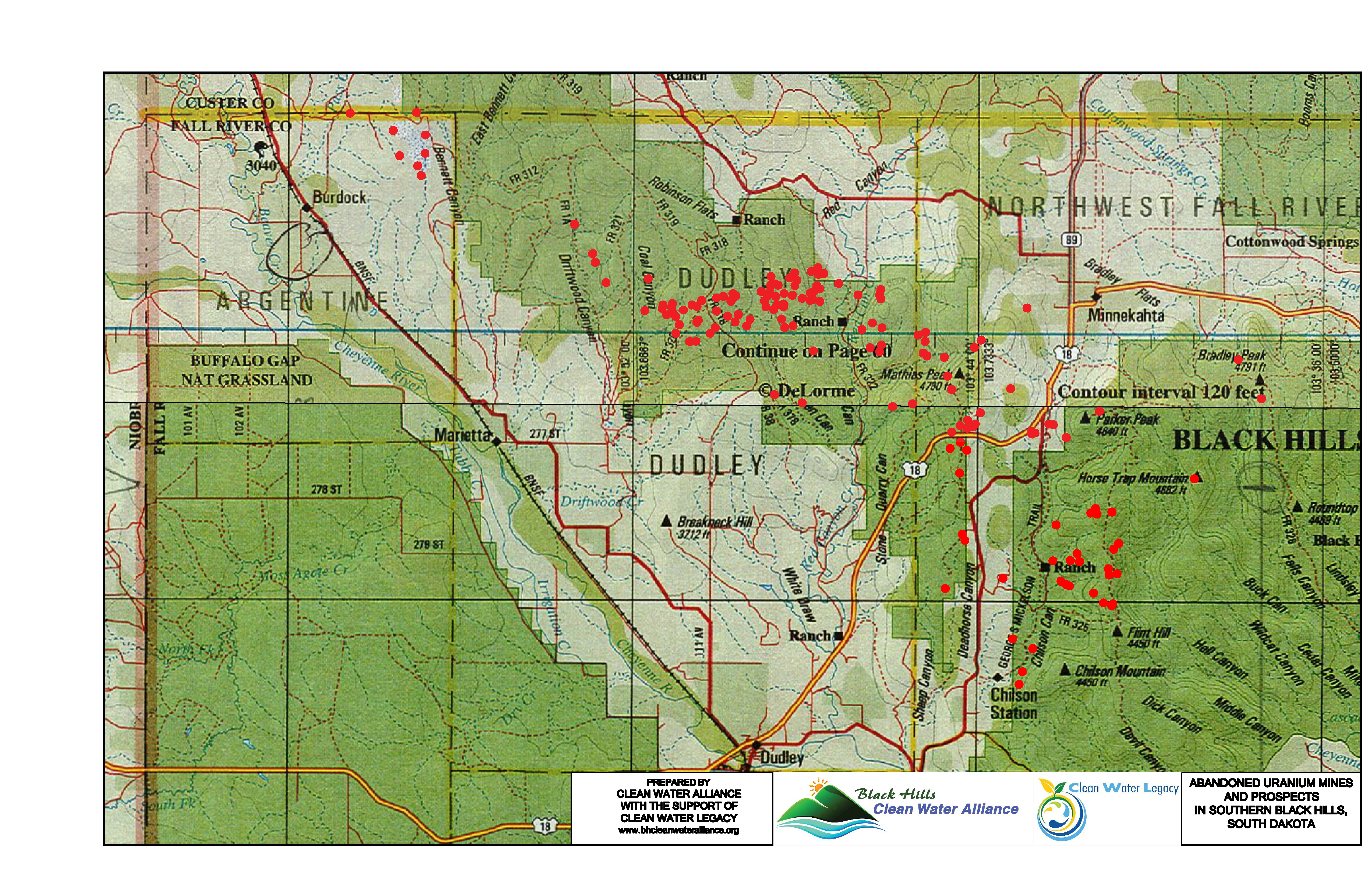
Below is a map of abandoned uranium mines and prospects in the Southern Black Hills. WE MUST DEMAND THAT THEY CLEAN UP THESE MINES!!